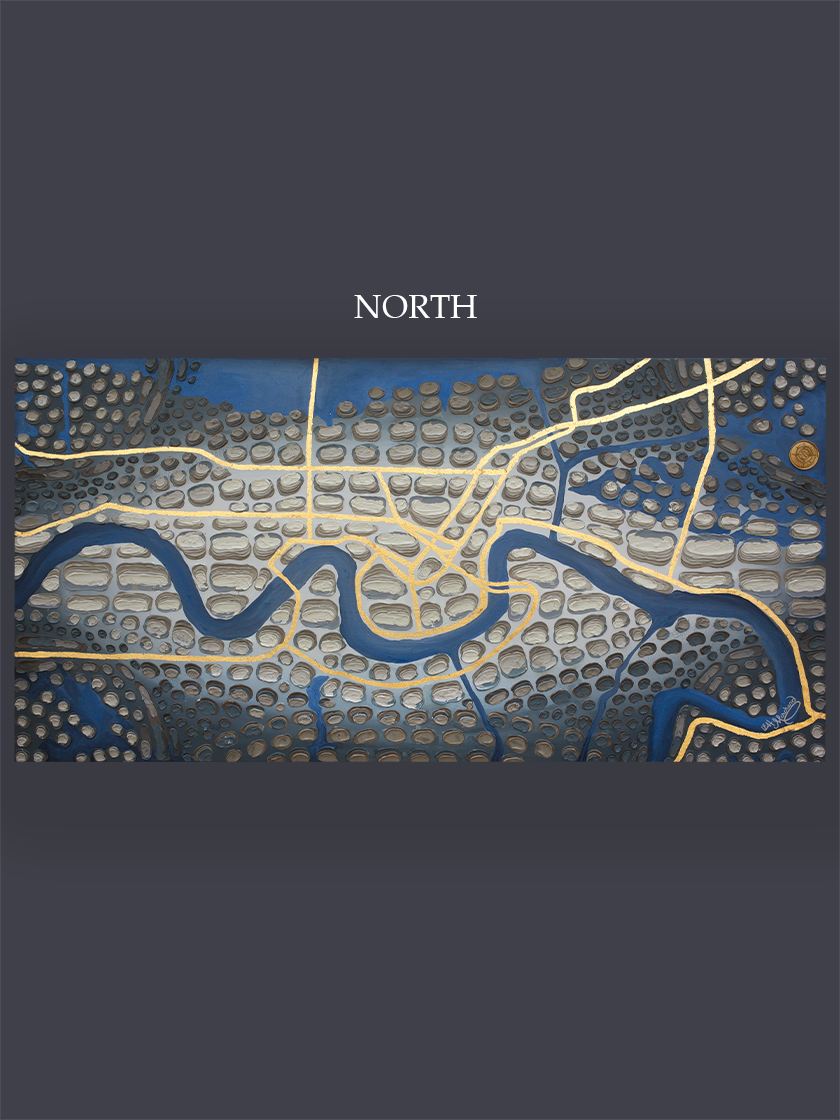
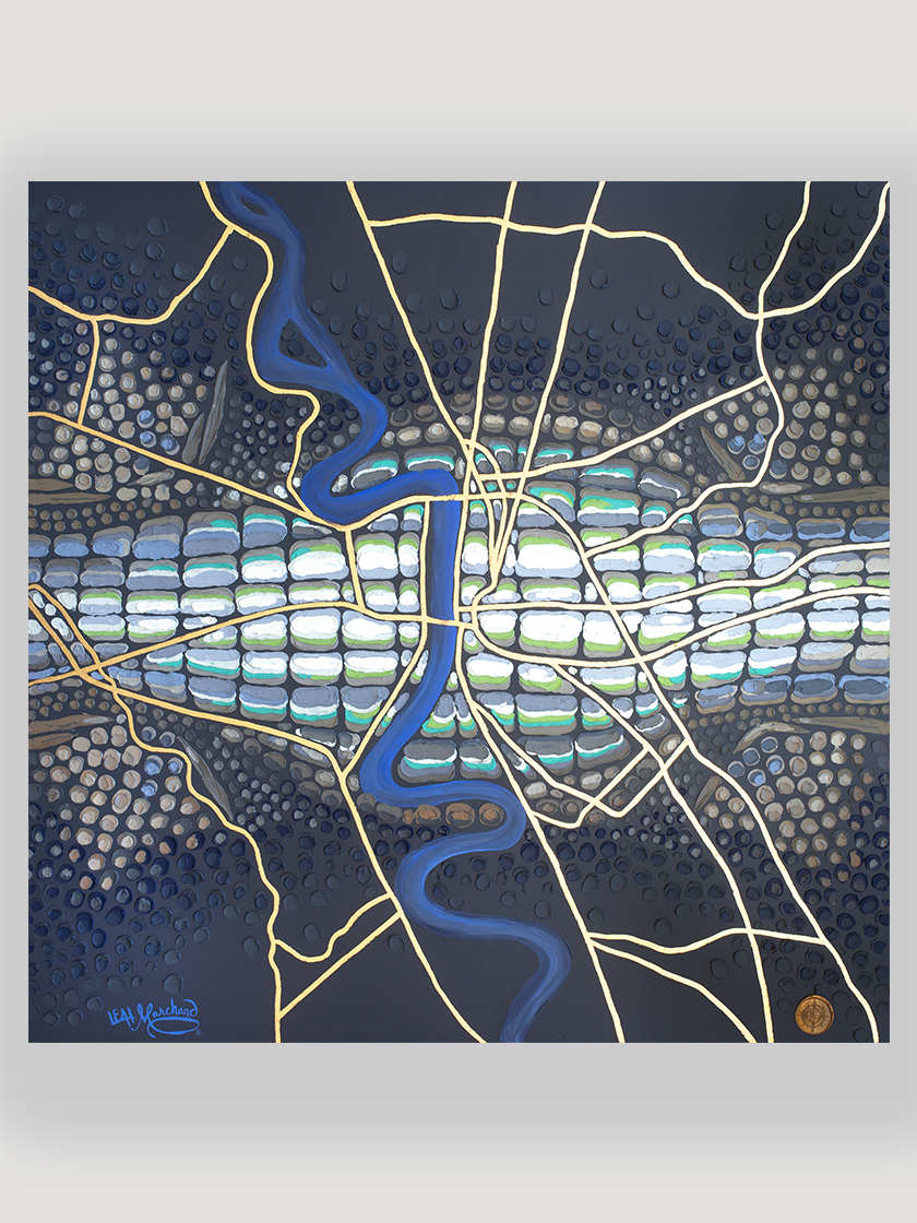
Louisiana Leather #90, East & West Baton Rouge- New Roads to Donaldsonville
See additional information below
See additional information below
See additional information below
This map features East and West Baton Rouge and stretches from New Roads to Donaldsonville. You can even see False River in the top left corner.
At the center of this map are East and West Baton Rouge, but it covers the Greater Baton Rouge area. Stretching from New Roads to Donaldsonville it encompasses Addis, Brusly, Plaquemine, White Castle, Saint Gabriel, Prairieville, parts of Gonzales, Denham Springs, Merrydale, Central, Baker, Zachary, Saint Francisville, Port Hudson, Erwinville, Lakeland, Slaughter, Ethel, Rosedale, Grosse Tete and several others.
9” X 15” Print, 60
12” X 20” Print, 80
18” X 30” Print, 160
12” X 20” Canvas Print, 260
18” X 30” Canvas Print, 460
24” X 40” Canvas Print, 820
Every print from the Louisiana Leather series is hand embellished by Leah Marchand.
Giclee canvas prints have a 1.5” profile and are reworked with gold leaf.
Archival paper prints are reworked with liquid gold leaf.
There is a 3-week process time for all prints.
Email LeahMarchandArt@gmail.com for questions and additional sizes.


